|
CAT Tracks for May 5, 2011
CAIRO RR OVERPASS & SAND BOIL PICS |
If you know Cairo Topix, you know that it is a website where you do not tread lightly...full of people behaving badly. I visit infrequently and shower immediately thereafter.
However, on rare occasions (if you sift long enough and hard enough), you can pick up a tidbit of news.
This morning, it was a "heads up" to some aerial photos of north Cairo posted on Paul Salmon's Facebook page.
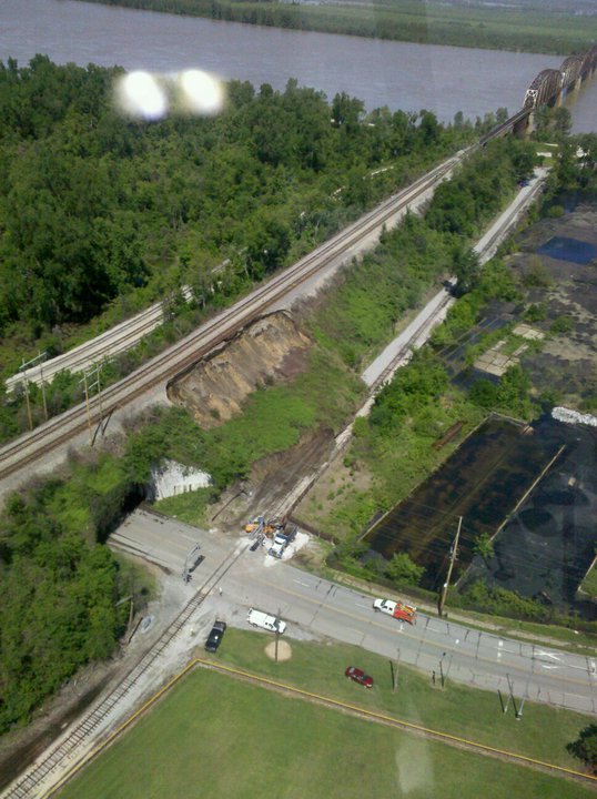
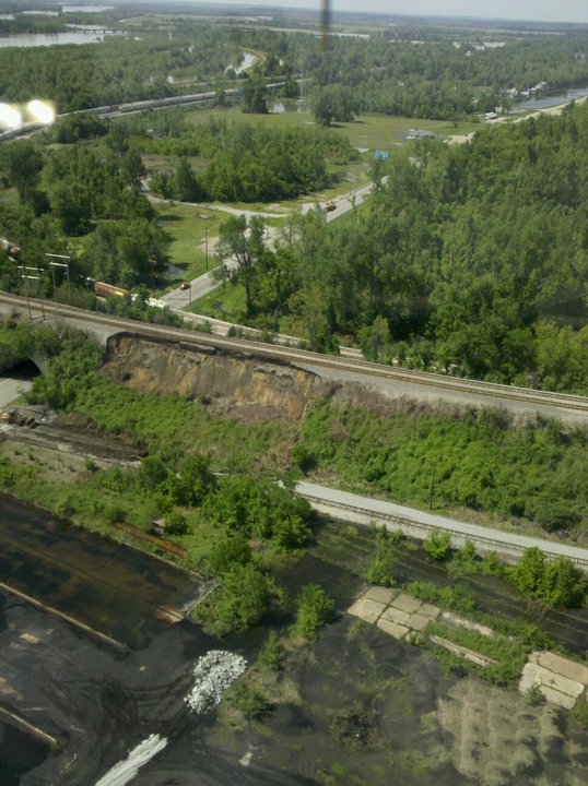
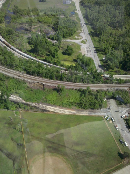
The first set of pictures are of the "tunnel" area at the north end of Cairo. Apparently (from the sight of cars coming and going), the tunnel itself is clear. However, there have been landslides on both the east and west sides.
The picture immediately below is the view as you would drive north leaving town, to the right...
Another view of the same area...
The picture below is of a second, smaller landslide, to the left as you drive out of town...
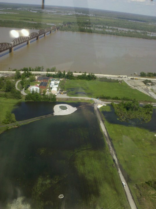
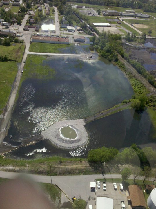
The set of pictures below are of the "monster" sand boil (also at the north end of Cairo at 40th and Sycamore...a couple of blocks south of the tunnel pictured above), between the Creative Insurance Agency and McGinness Florist and Napa Parts buildings and the Ohio River Levee.)
A second, closer view...
Our thanks to Paul Salmon for posting these pictures.
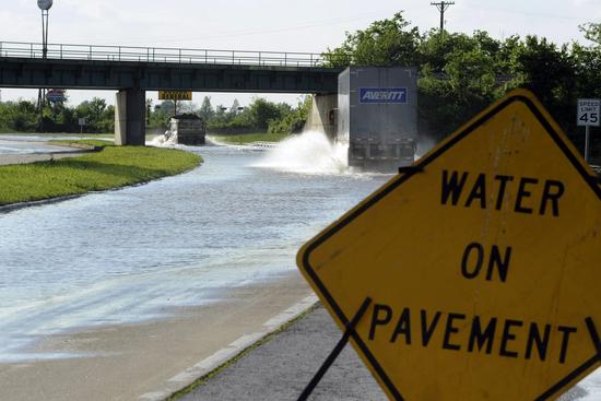
One final picture that appeared in a news article last week...
It shows the water pooling under another railroad overpass and covering Route 3) out by the Dollar General Store at north Cairo...near the Cairo Clinic. This is why regular traffic was unable to use Route 3 and I-57 to evacuate Cairo, having to detour to Route 37 toward Mounds and Mound City.